On 26 March 1923, the Rural District Council discussed a footpath on the East Coker and Hardington boundary. The footpath served as a shortcut from the Hardington road to Lyatts Farm, and the East Coker Parish Council had received a complaint that the path was impassable because the landowner on the Hardington side had failed to clean his ditches. The District Surveyor said this was a matter for Hardington Parish Council to rectify, not the Rural District Council. The Council instructed the clerk to reply accordingly.[1]
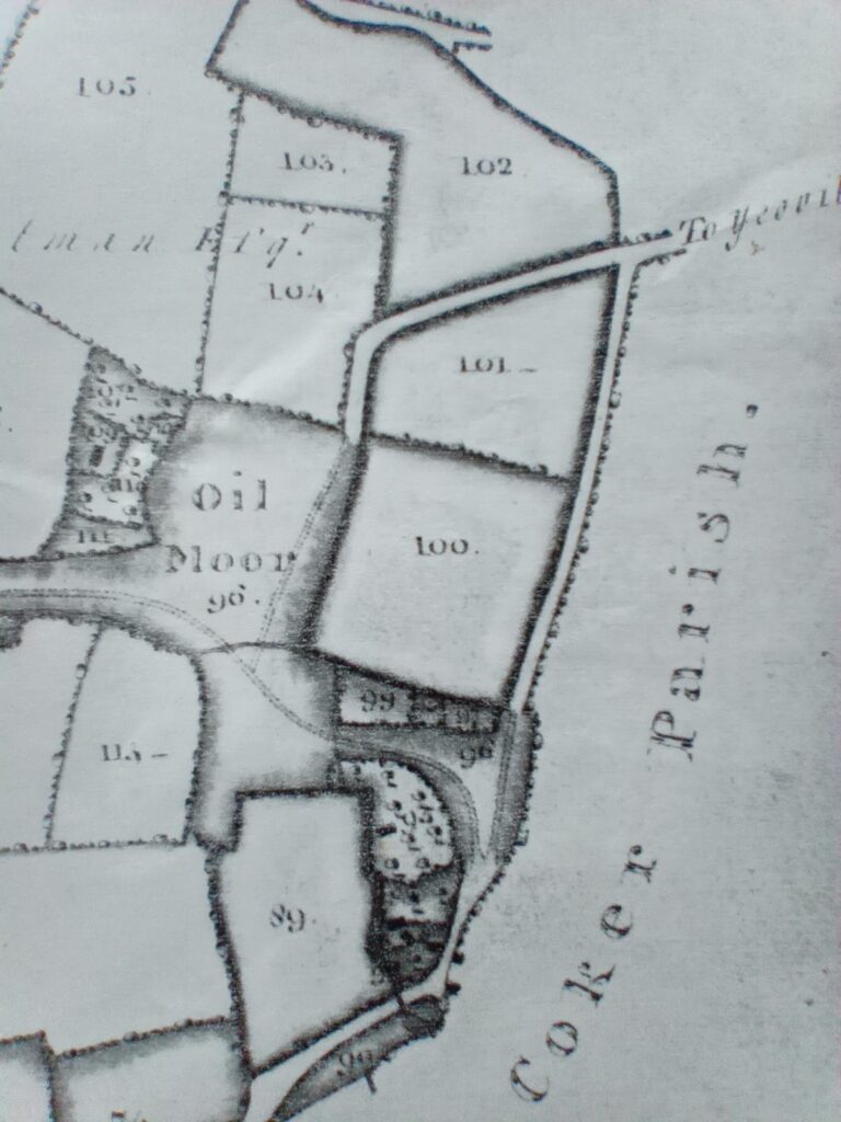
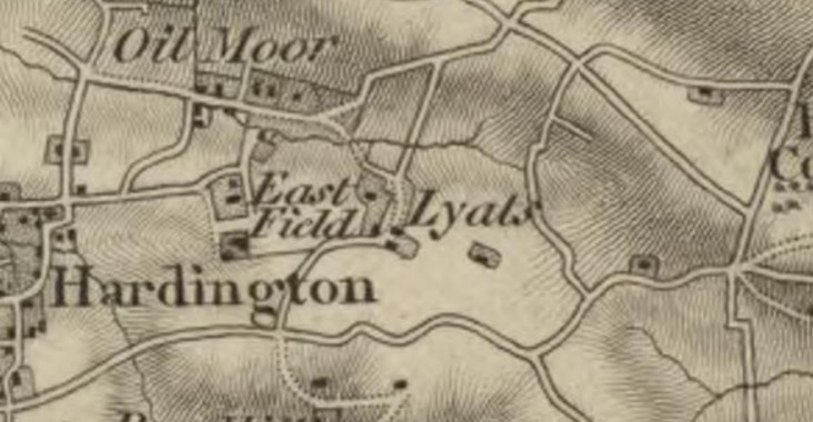
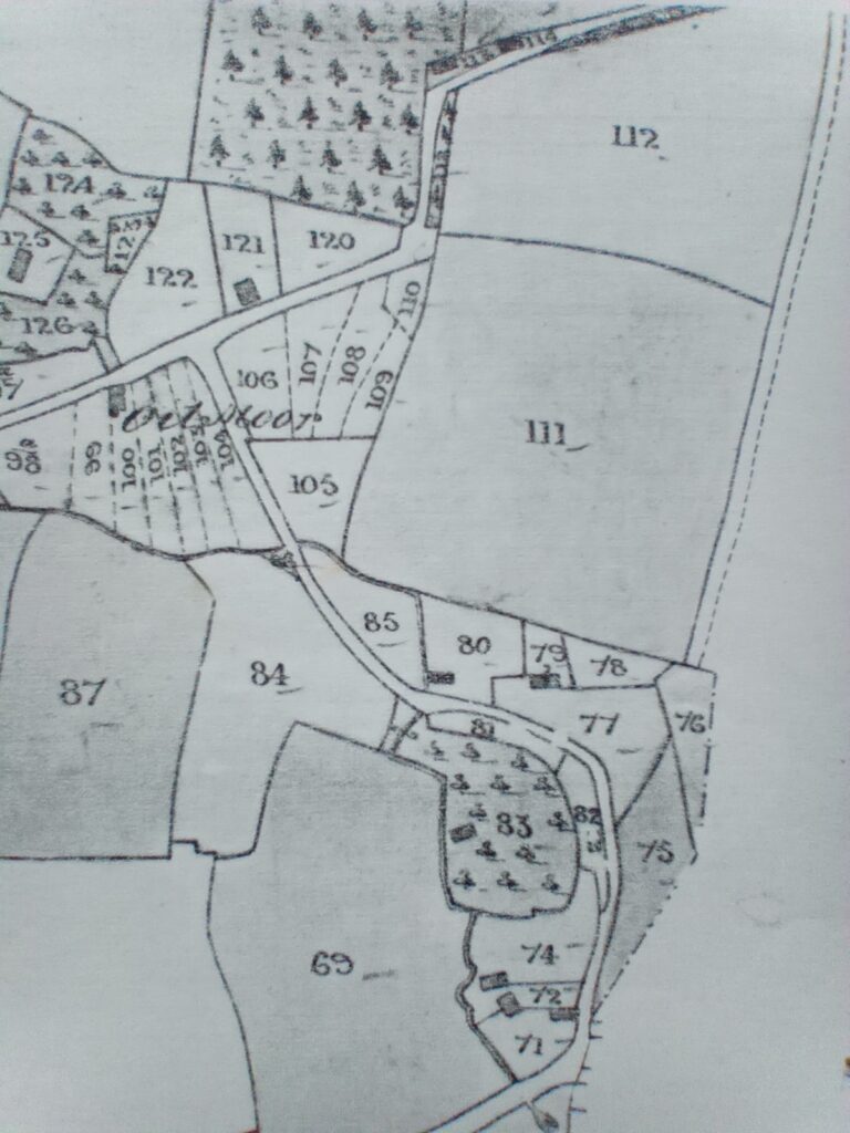
The footpath discussed in 1923 is the remnant of an old road or track. An estate map of 1807 and an Ordnance Survey map of 1811 show the road but not the tithe map of 1843. However, its former existence is evident on the tithe map in the gap between the field boundaries (a continuous line) and the parish boundary (a dotted line).
Between 1811 and 1843, the old road fell into disuse as tenants divided Oil Moor into gardens, allotments, and house plots, blocking the road’s southern end. This process of encroachment and enclosure was not unique to this area, as similar changes were occurring in other parts of the parish, transforming village life.
References
[1] Western Chronicle, 30 March 1923, p.7.


